Programming

Leaflet – Routing Application

The travelling salesman problem (TSP) asks the following question: "Given a list of locations and the distances between each pair of locations, what is the shortest possible route that visits each location exactly once and returns to the origin location?"

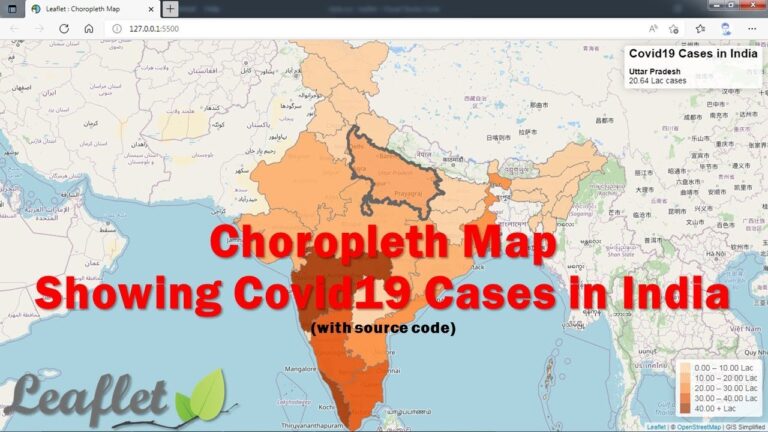
Leaflet – Choropleth Map

A choropleth map is a type of statistical thematic map that uses pseudocolor, i.e., color corresponding with an aggregate summary of a geographic characteristic within spatial enumeration units, such as population density or per-capita income.

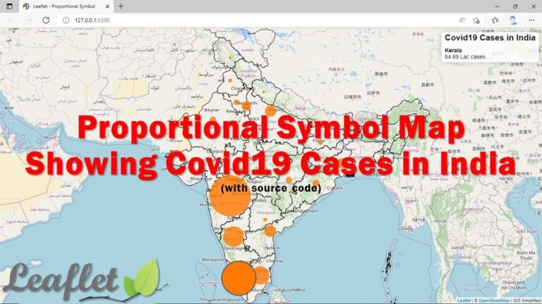
Leaflet – Proportion Symbol Map

A proportional symbol map or proportional point symbol map is a type of thematic map that uses map symbols that vary in size to represent a quantitative variable.[1]: 131  For example, circles may be used to show the location of cities within the map, with the size of each circle sized proportionally to the population of the city. Typically, the size of each symbol is calculated so that its area is mathematically proportional to the variable, but more indirect methods (e.g., categorizing symbols as "small," "medium," and "large") are also used.

Leaflet – Adding Point, Line and Polygon Features

Point, Line and Polygon are the three basic feature types supported by all GIS platforms. Point is a single dimensional feature having no width and height. Its location is represented by X and Y coordinate. Line is a represented by series of X and Y coordinates. Polygon is mostly same as line with starting and ending point are same which makes it a closed figure.