Software

Utility Network Management: ArcFM Vs ArcGIS UN

The management of utility infrastructure necessitates robust systems capable of handling complex spatial data, network connectivity, and efficient asset management. Esri's ArcGIS platform has long been a cornerstone in this field, offering solutions like ArcFM and ArcGIS Utility Network. Let's delve into their differences, strengths, and applications.

Navigating GIS Evolution: from ArcMap to ArcGIS Pro

The GIS landscape has witnessed a significant shift with the emergence of ArcGIS Pro as the next-generation software, succeeding the long-reigning ArcMap. This transition has prompted many GIS professionals to compare the two Esri products, ArcMap and ArcGIS Pro, to understand their differences, advantages, and limitations.

QGIS vs ArcGIS Pro: Choosing the Right GIS Software

Geographic Information Systems (GIS) have become integral in various fields, aiding in spatial analysis, mapping, and data visualization. When it comes to selecting the right GIS software, two prominent options stand out: QGIS and ArcGIS Pro. Both have their strengths and serve different user needs, making it crucial to understand their features before making a choice.

QGIS – Online field survey

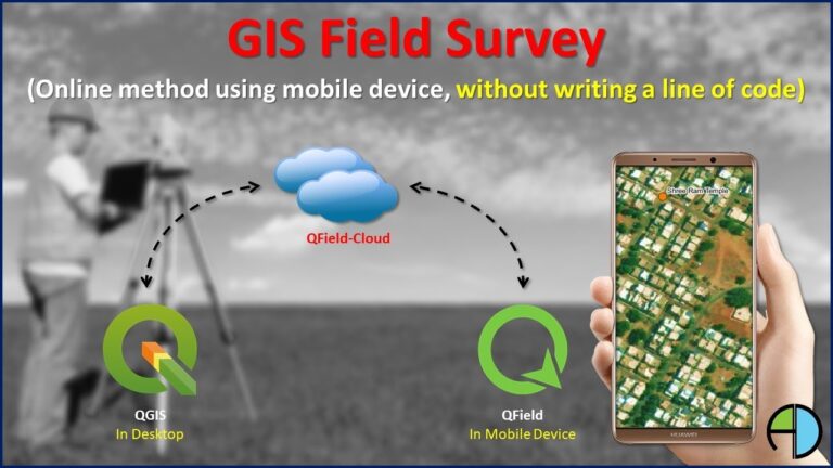
Adequacy and accuracy of data plays a vital role in successful GIS implementation. So far GIS survey (data collection) was being performed using measure taps and paper maps. But now in this digital era, GIS survey has gone digital. You can perform GIS survey on the field using mobile device and that too without writing even a single line of code.

QGIS – Offline field Survey

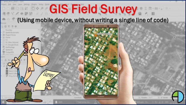
The five critical components of GIS system are Software, Hardware, Data, People and Procedure. Among these components, the most critical component is Data. Adequacy and accuracy of data plays vital role in success of GIS implementation.